SEE THE SCALE

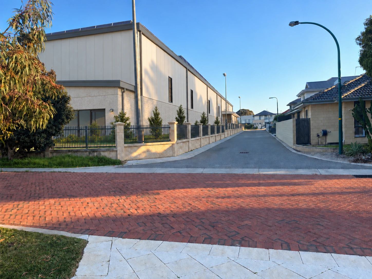
Two checked viewpoints and the wider site

Start with the two retained before-and-after comparisons, then use the location map and applicant drawings to inspect the wider context.

WHAT IS FIXED

Keep the dimensions visible

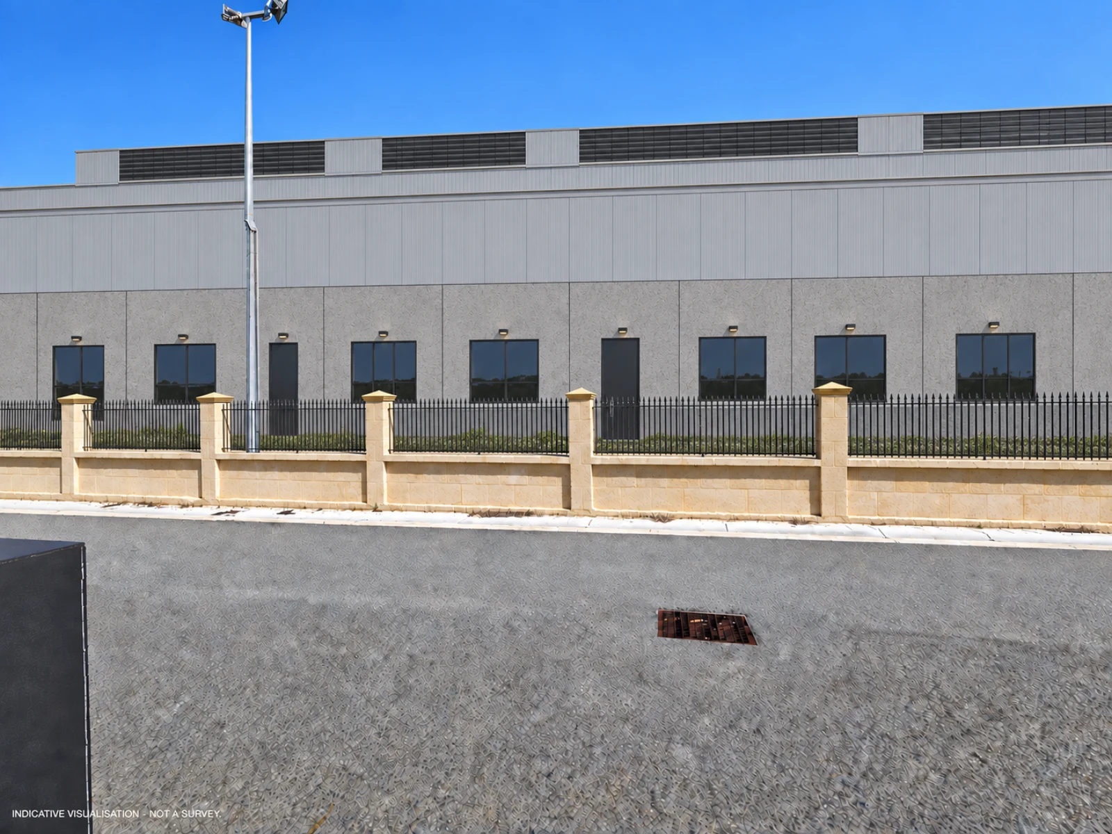
The camera review keeps the photographed viewpoints beside the existing 2 metre boundary, the 3.1 metre eastern setback and the stepped levels marked on drawing A20.

Important: These are explanatory mockups. They are not survey work and should not be used to claim an exact line of sight, shadow position or finished appearance.
Roof direction: Drawing A20 shows about 6.4 metres to the eastern eave, about 6.8 to 7.3 metres at the lower eastern roof, about 10.1 metres at the eastern side of the main roof, and about 12.1 metres at its western high point.

CHOOSE A LOCATION

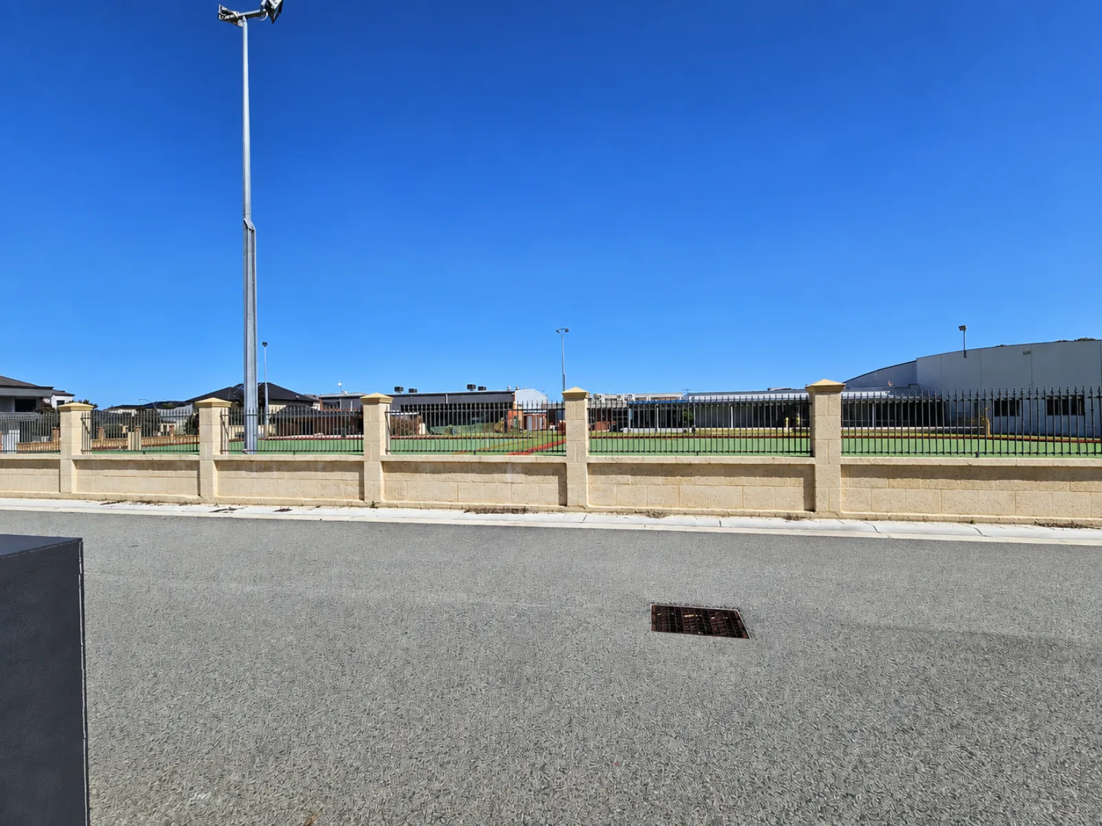
Walk around the site

Select a numbered camera position to inspect the current photograph and its position on the plan.

Camera positions and viewing cones were calibrated against residents' photographs and remain approximate.

NORTH-EAST APPROACH

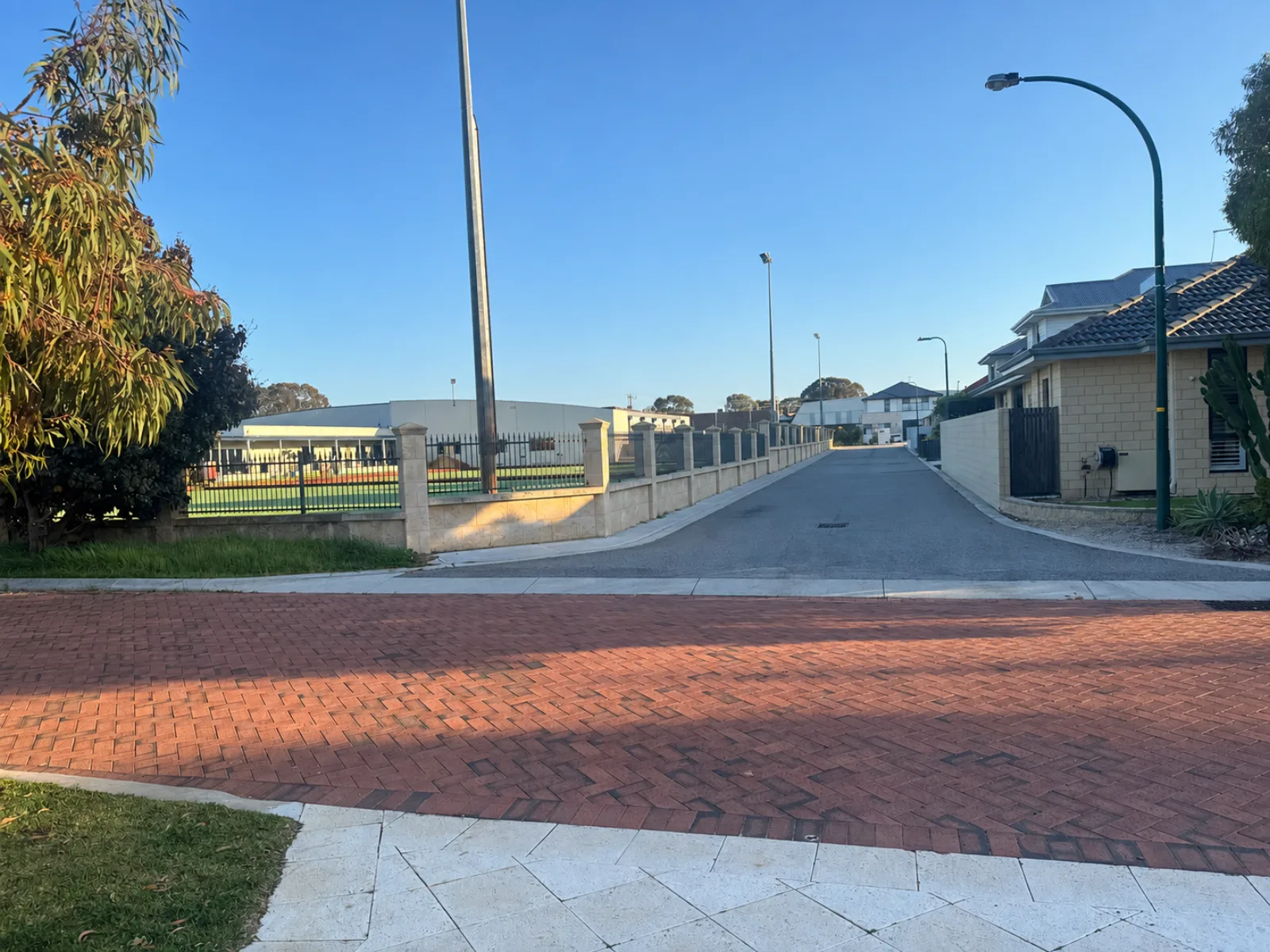
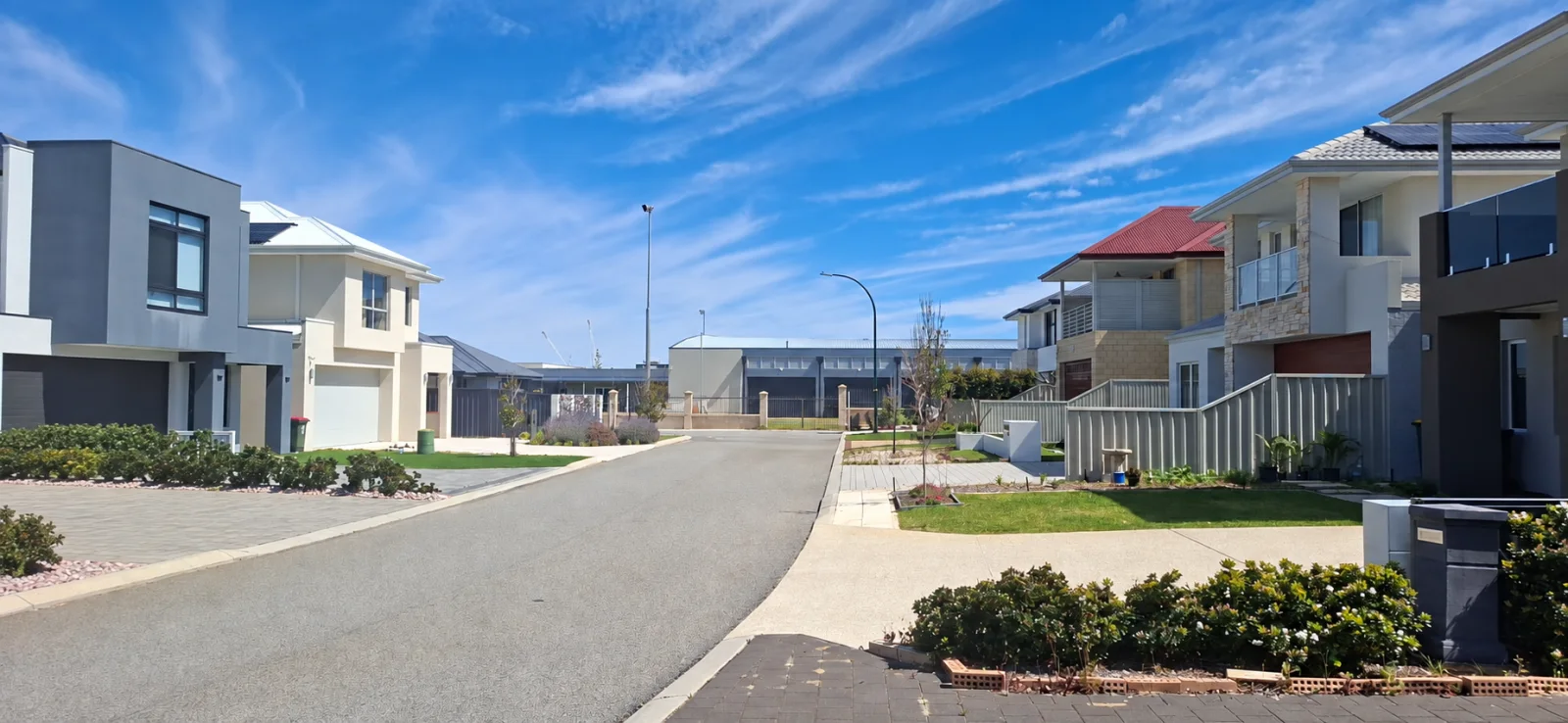
Approaching from the north-east

Current street view approaching the site from the north-east

Long street approach. Vehicle and mailbox details were removed for privacy.

Proposal render withheld until the 3D camera and building alignment has been checked.

CHANGE THE TIME

Winter-solstice shadow

Choose a time to see why a single noon drawing does not explain afternoon shadow movement or duration.

PROPOSEDBUILDINGADRIATIC LANECORNERHOME AREAN

21 JUNE 2026

12 pm

Maximum shadow reach: about 18 metres

Near noon, the maximum-height envelope casts its shortest selected shadow, mainly south of the building.

Indicative, not expert evidence. This uses Stirling's calculated sun position, a flat site and the 12 metre maximum-height envelope. It does not model every stepped roof, tree, fence or surveyed ground level.
Share this selected time

CHECK THE APPLICANT'S DRAWINGS

Check the orientation and size for yourself

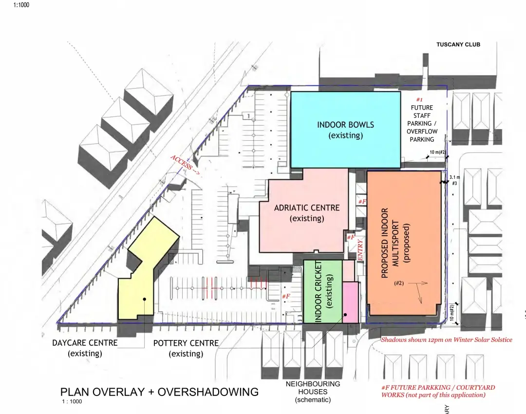
These are the two drawings used to set the building position, roof direction and marked heights in the mockups.

DRAWING A20

Building elevations

Use the north and south elevations to check the stepped eastern and main roof volumes. Use the east elevation to check the length and street-facing form.

DRAWING A07

Height and site overlay

Use the plan to check the building position and eastern setback. Use the enlarged height diagrams to compare the building with neighbouring houses.